Jenny Liang is an innovation leader who designs ethical futures for emerging technologies.
Futures Worth Mapping™
Ethical Development of Geospatial Technology
THE Methodology
My integrated approach combines:
Strategic Foresight: Envision multiple future scenarios and their implications
Design Ethnography: Understand community needs and cultural contexts
Speculative Design: Prototype solutions for complex, evolving challenges
Moral Foundations Analysis: Navigate different ethical frameworks and values
Community Co-Creation: Center affected communities in design decisions
THE CHALLENGE
Space, satellite, and 3D mapping technologies are quietly revolutionizing agriculture, environmental activism, and geopolitics. Yet a startlingly small circle of people decides how these powerful tools are built, implemented, and used. This concentration of power creates blind spots that can perpetuate inequities and exclude entire communities from the benefits of technological progress.
THE SOLUTION
Futures Worth Mapping™ is my signature methodology for inclusive geospatial technology development. This process ensures diverse voices shape how we map, monitor, and understand our world.
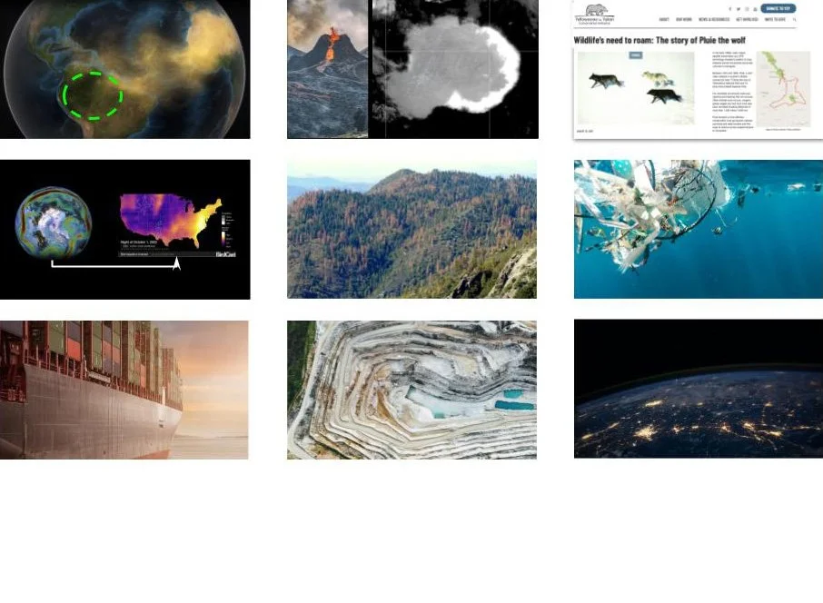
From tracking deforestation to monitoring wildlife migration to mapping pollution patterns—these represent just a fraction of the positive applications we can unlock when geospatial technology development includes community perspectives and wisdom.
SERVICE OFFERINGS
Discovery Workshops (2-5 days)
Ideal for organizations beginning to explore geospatial applications. We'll map current technology landscape, identify opportunities, assess ethical considerations, and develop preliminary guidelines for responsible development.
Strategy & Implementation Programs (2-6 months) Comprehensive engagements for organizations actively developing geospatial products or services. Includes stakeholder mapping, community engagement protocols, ethical framework development, and implementation roadmaps.
Organizational Transformation (6-12 months)
For organizations seeking to embed ethical geospatial practices across their operations. Includes leadership coaching, team training, process redesign, and ongoing advisory support.
Who This Serves
Technology Companies developing mapping, satellite, or location-based services
Government Agencies implementing geospatial solutions for public benefit
Nonprofits & NGOs using mapping technologies for advocacy and service delivery
Academic Institutions researching geospatial applications and ethics
Investors & Accelerators evaluating geospatial technology ventures
Why This Matters
The decisions we make about geospatial technology today will shape how humanity navigates everything from climate change to urban planning to precision agriculture. By democratizing access to these powerful tools and ensuring their ethical development, we can create a more equitable and sustainable future.
Ready to Map a Better Future? Contact me to learn more about Futures Worth Mapping™ services and how we can work together to transform your organization's approach to geospatial technology.